Research sites

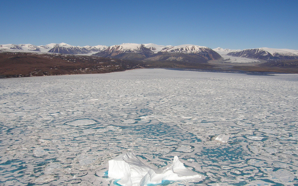
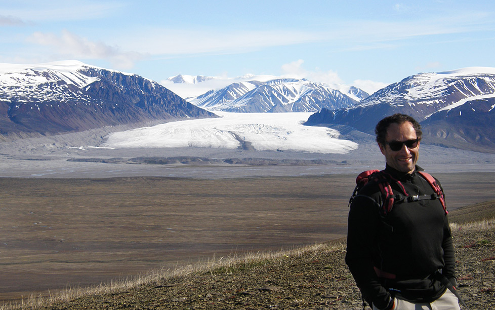
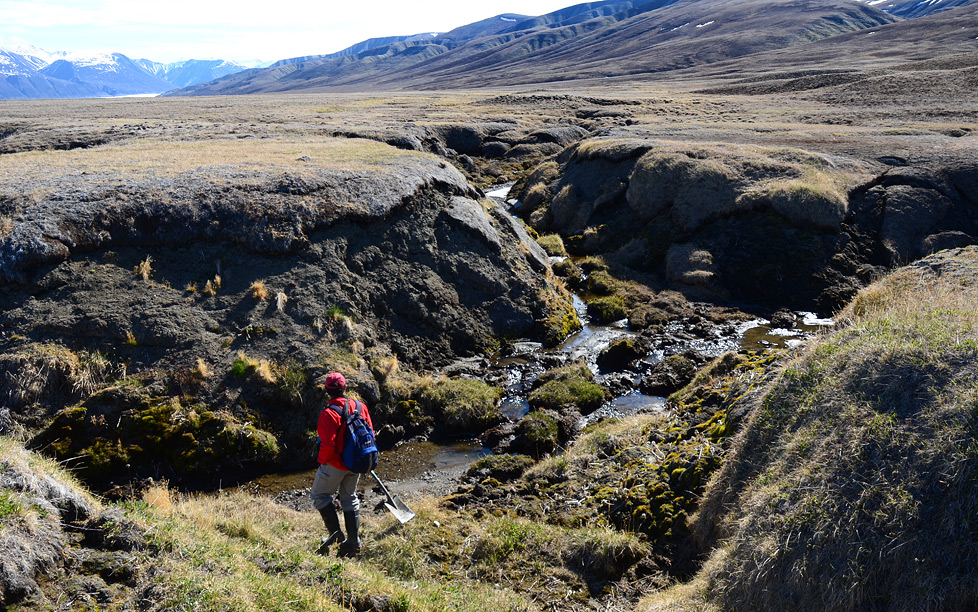
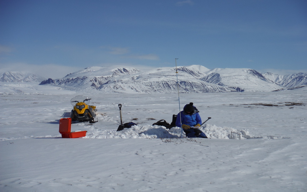
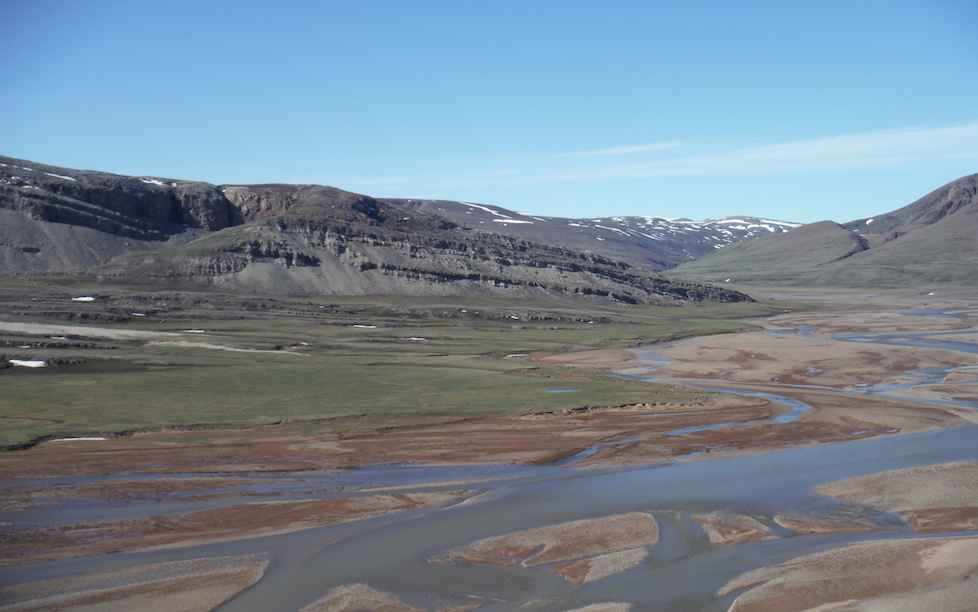
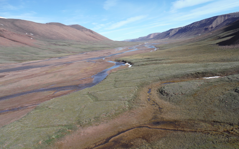
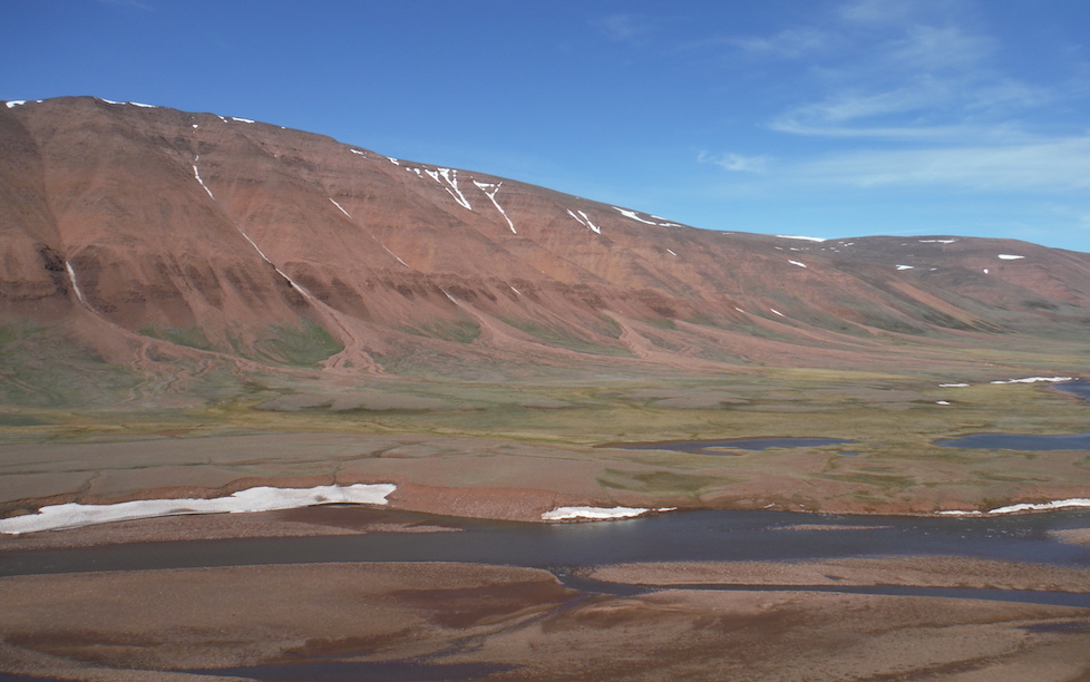
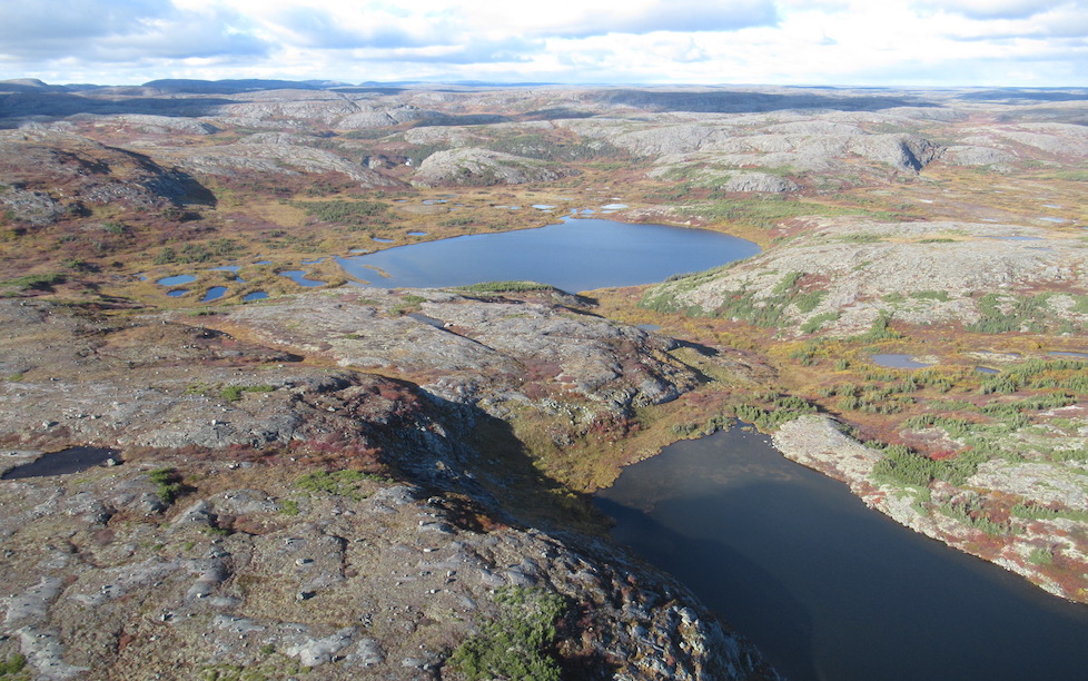
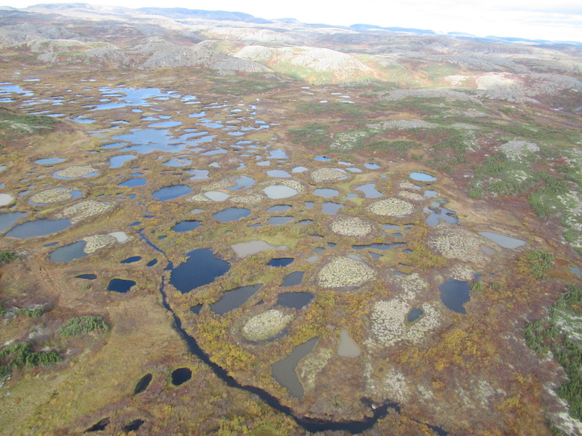
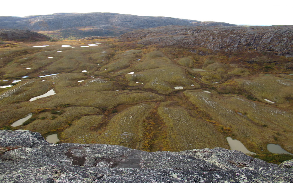
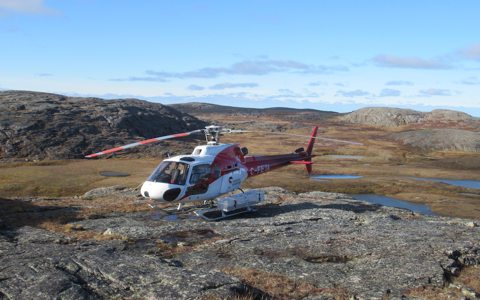
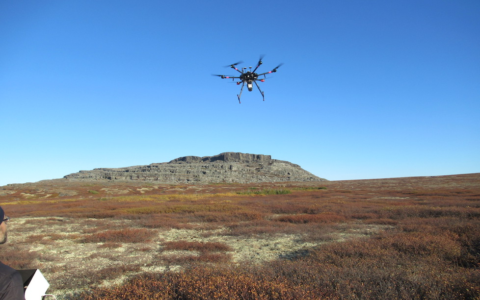
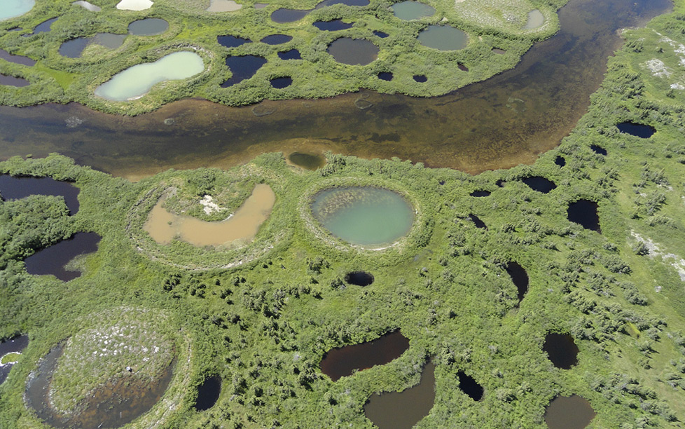
Bylot Island, just North of Baffin Island, is a high Arctic site with thick continuous permafrost. Vegetation is prostrate, dominated by thick moss carpets, dwarf shrubs (incl. Salix sp., Cassiope tetragona) and graminoids (Eriophorum scheuchzeri, Carex aquatilis). Vegetation types range from saturated wet tundra to xeric Arctic tundra. The CEN research station is located in a glacial valley with ice-wedge polygons.
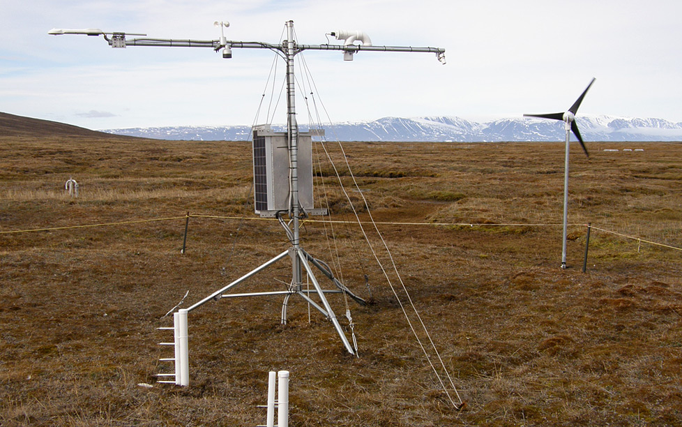
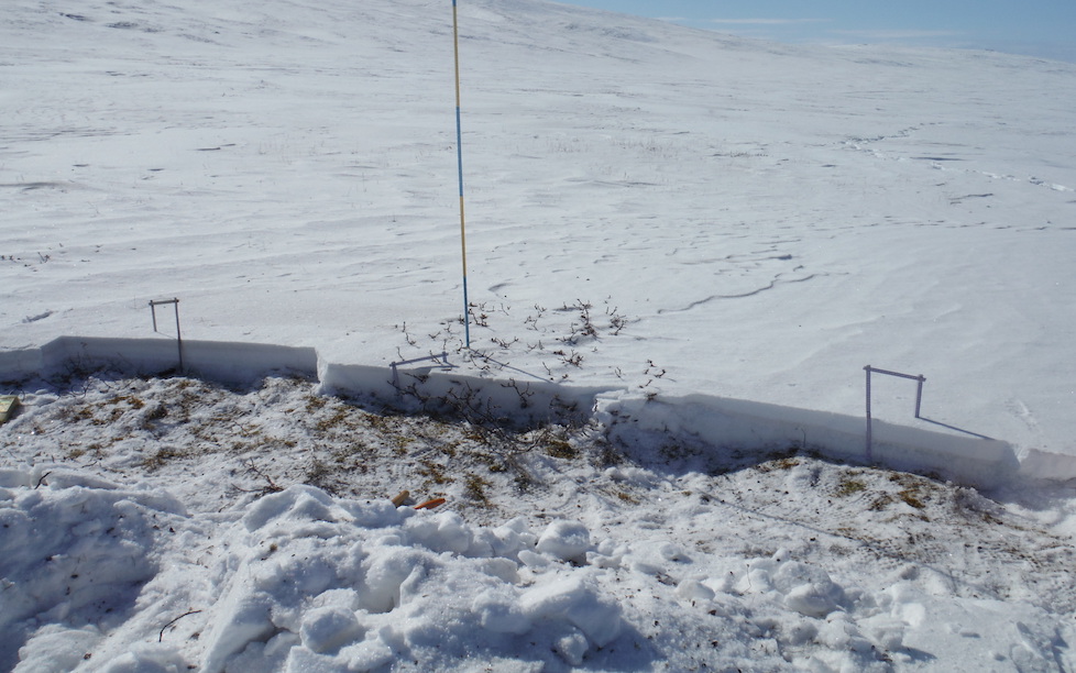
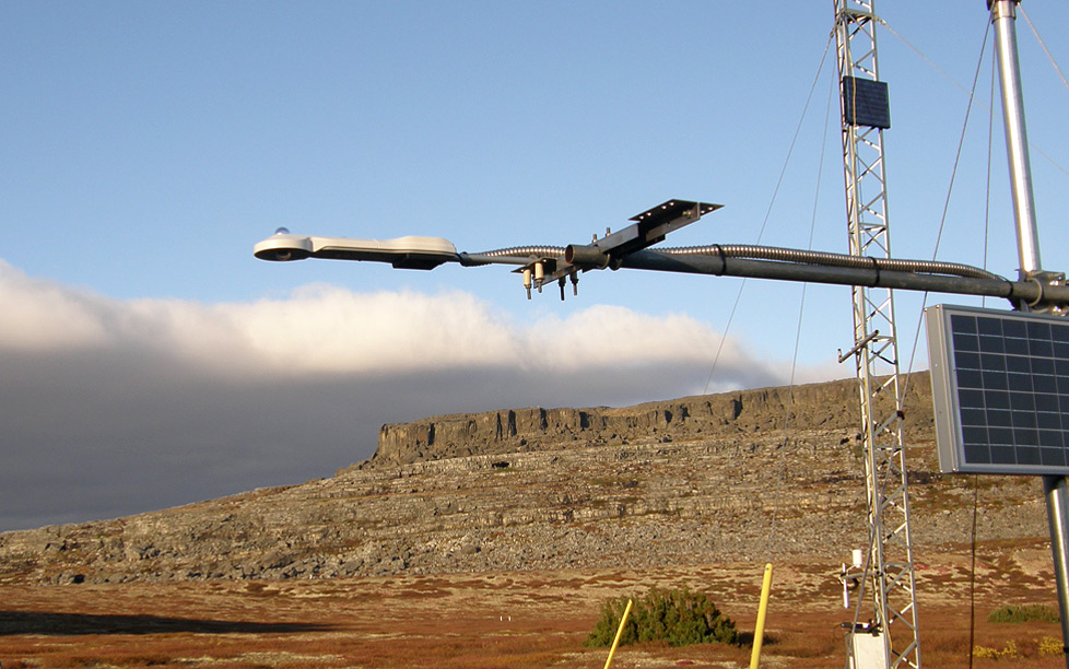
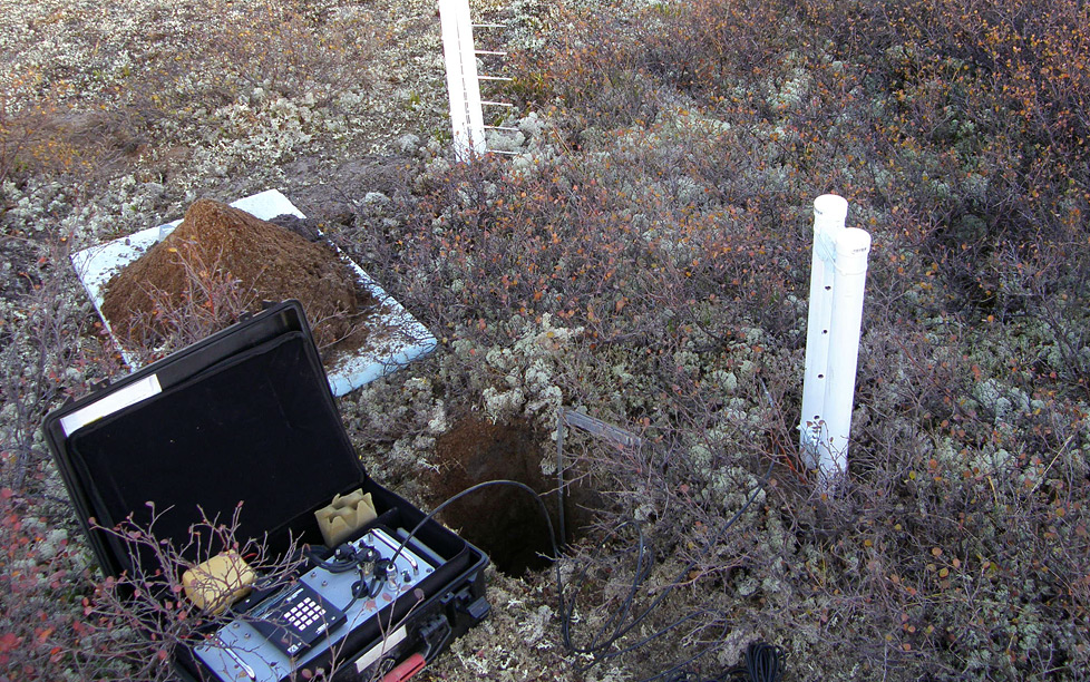
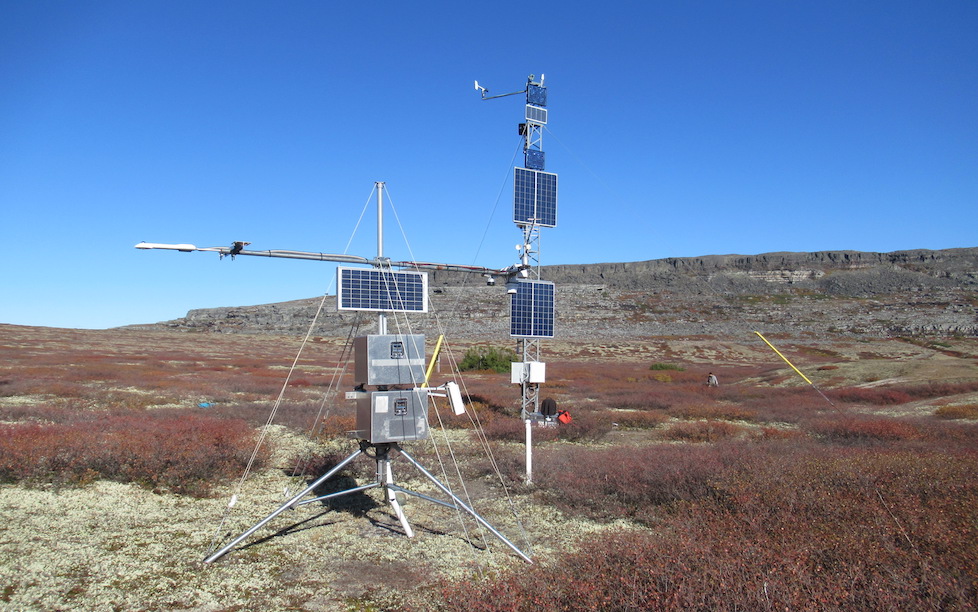
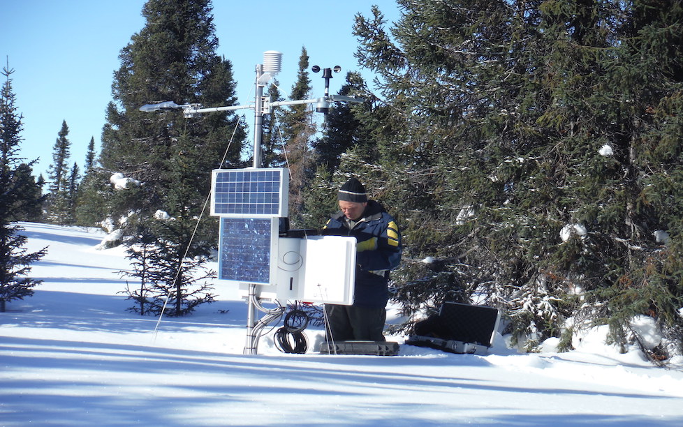
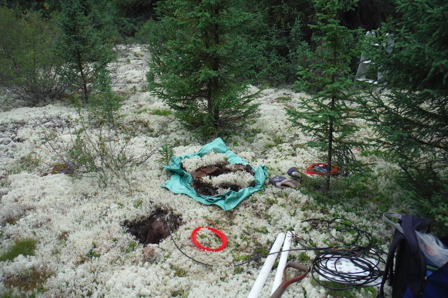
With funds from IPEV, we instrumented a site in this valley in July 2013, in an ice-wedge polygon environment. Soil instruments included temperature, water content and thermal conductivity sensors. Snow instruments included temperature and thermal conductivity sensors. Atmospheric instruments included radiation (pyranometers and pyrgeometers), temperature, relative humidity, wind speed, snow surface temperature and snowpack height. An existing nearby site also featured a Geonor precipitation gauge. The station is powered by a wind-mill and a solar panel. Four other sites in mesic and xeric tundra were instrumented with soil temperature and water content sensors.

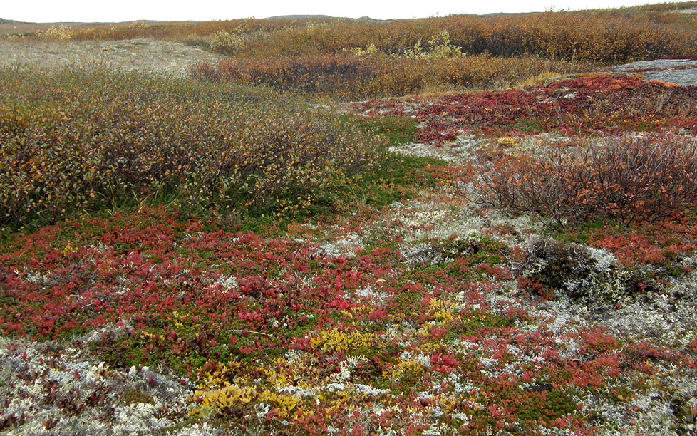
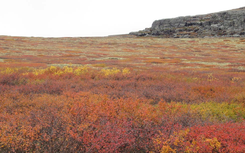
Umiujaq, on the eastern shore of Hudson Bay, is a subarctic site near treeline with contrasting conditions between the cold coastal region dominated by herb and low shrub tundra and the protected inland area ranging from lichen-shrub tundra to forest-tundra patches similar to the northern fringe of the taiga. Permafrost there is discontinuous on the coast and sporadic inland, so that a wide variety of environments can be found within a small region.
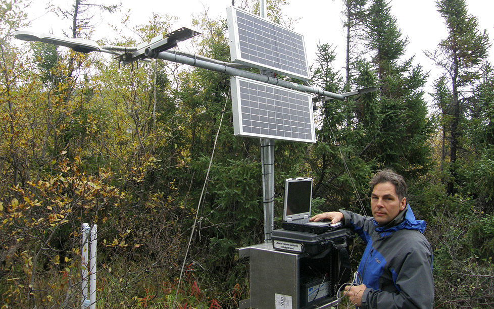
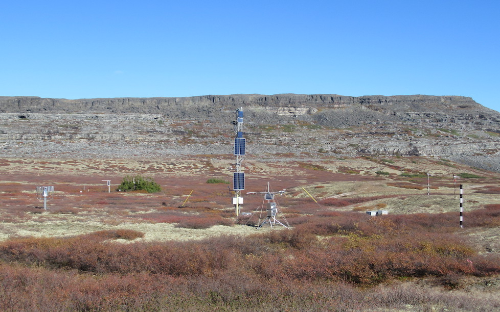
Umiujaq has long been used by CEN scientists for research on topics as varied as permafrost and vegetation dynamics. Temperature sensors were placed at depth down to 10 m more than 10 years ago, providing an excellent data base that will be useful in testing model outputs. In 2010, a 10 m tower was built and equipped with sensors for temperature, relative humidity, wind speed and direction, and snow pack height. In September 2012, we complemented that tower with radiation measurements, and snow and soil measurements similar to those at Bylot Island. A precipitation gauge was also installed. As at Bylot Island, the instruments provide all the data required to force the snow model Crocus and the land surface model ISBA of CNRM. Another station similar to that at Bylot Island was also deployed a few km down the valley, in a forest-tundra environment.

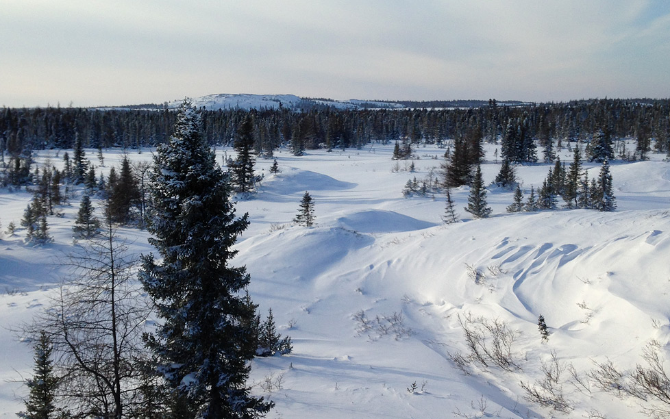
Kuujjuarapik is about 150 km south of Umiujaq and is for the most part forested, except for bare basalt outcrops. The permafrost is sporadic and disappearing. The boreal forest there is fairly similar to the forest-tundra at Umiujaq, although the warmer climate allows trees to grow to larger sizes. Regarding snow properties, a significant difference exists between both forest types. Since at Umiujaq the forest cover is discontinuous, wind storms can erode the snowpack in open areas and deposit snow in the forest-tundra, where snow thickness sometimes reaches 2 m. On the contrary, the more continuous forest cover at Kuujjuarapik prevents snow erosion, limiting the snow accumulation to precipitation, without any significant contribution from wind drift. The snow cover is therefore thinner and rarely exceeds 1 m.
As a result, layers of highly insulating depth hoar develop readily, giving a very insulating snowpack, which we studied in a preliminary manner in February 2013. We therefore plan to deploy instruments at Kuujjuarapik to document these snow properties and be able to simulate the thermal regime of the soil in the northern boreal forest there. This will provide another set of conditions to test our model and therefore improve its applicability to a wide range of soil thermal regimes, from permafrost-free boreal soils to thick Arctic permafrost. This will ensure that the fate of soil carbon can be modeled based on sound thermal data in northern regions.